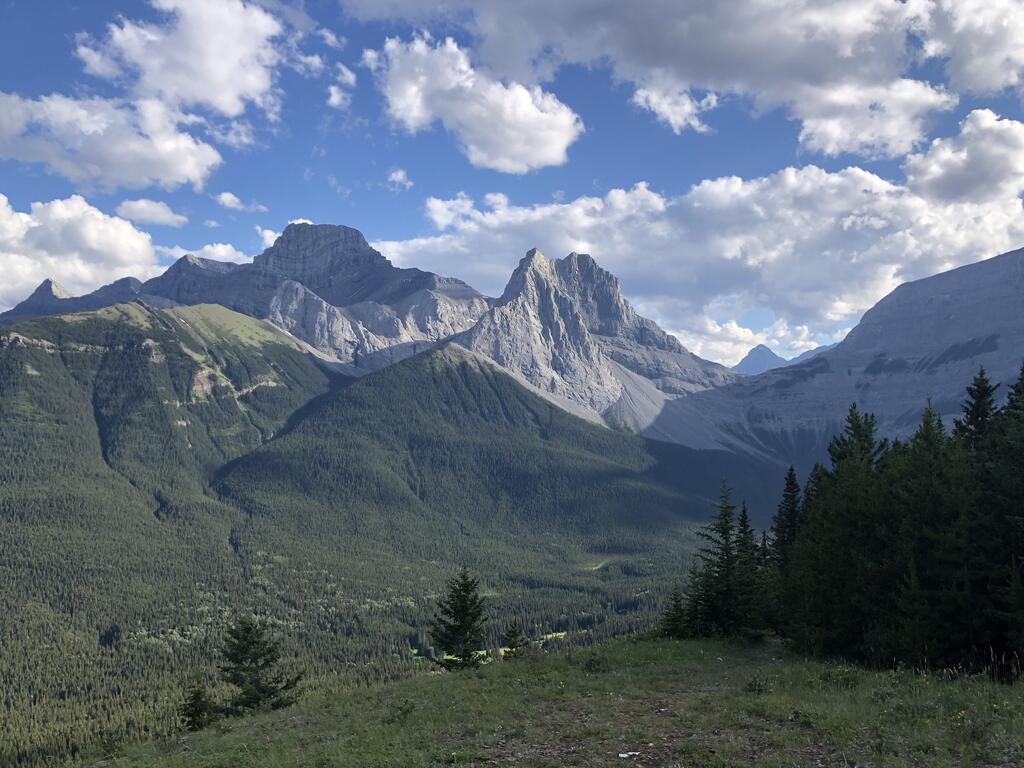
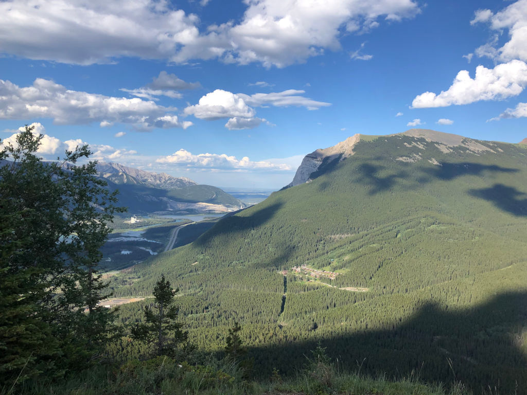
In mid-summer, when all the wildflowers bloom in the Canadian Rockies for about 4-6 weeks, Wind Ridge is my favourite to enjoy these natural wonders.
This hike starts at the Mount Lougheed Viewpoint, about 10 minutes from Canmore, and it’s a moderately challenging hike in Kananaskis Country.
It takes about 1-2 hours to the lower ridge, one of my favourite meditation spots overlooking the sprawling Mount Lougheed valley behind the Three Sisters. The upper ridge is more difficult and will be a 5-6 hour hike back to the trailhead.
From Wind Ridge, you have awe-inspiring views of Mount Lougheed, a 3,107-metre (10,194-foot) triple-peak mountain that is the tallest mountain near Canmore.
Wind Ridge is called Ganutha împa by the local Stoney Nakoda, which means “Windy Point.”
The ridge’s scenic high point appears in Pink Floyd’s iconic “Learning to Fly” music video, which tells the story of a young native man who climbs up the ridge only to jump off it before turning into a graceful soaring eagle.
Mount Lougheed was named in 1928 after Sir James Lougheed (1854–1925) who was a prominent lawyer, politician and senator who fought for Western rights in Canada. His grandson Peter Lougheed became the premier of Alberta and he was instrumental in setting up Kananaskis Country as a four-season recreation area.
The Lougheeds are one of the richest families in Western Canada. You can visit their castle in Calgary build in 1891, now known as Lougheed House and a national historic site open to the public.
The Wildflower Meadows on Wind Ridge
This is an excellent place to find wildflowers and the lower trail across several bridges over beautiful streams.
In this area, you can also do excellent hikes up Pigeon Mountain and Centennial Ridge, the highest-maintained trail in the Canadian Rockies.
Also, keep an eye out for Big Horn Sheep and Hoary Marmots on the trail, there is a large colony of them here.

Mount Lougheed towering over the valley.

Getting To The Wind Ridge Trailhead:
The Wind Ridge trail starts just south of Dead Man’s Flats, a 10-minute drive from the town of Canmore.
If you’re driving from Calgary (it’s a 1-hour drive) take the Trans-Canada Highway to Dead Man’s Flats – exit 98 and follow the signs to the Banff Gate Mountain Resort, the parking lot is to the right of the entrance to the resort.
Keep in mind that on Alberta Park’s trail map, they call Wind Ridge the Windy Viewpoint Trail. The whole area is closed to hiking annually from December 1 – June 15 to protect the breeding grounds of Bighorn Sheep.
- 10 Sustainable Travel Trends Driving The Future of Tourism - March 9, 2025
- 10 Tips To Sell Out Your Transformational Retreats In 2025 - February 20, 2025
- Build 10 Habits That Free Up Your Time With Mindful Coaching - February 11, 2025


